
We have to define an Unlabeled Map article that is very useful for children. Because they can increase their knowledge through it. Children who study in school, keep getting projects related to maps. They can use our unlabeled map of US for their projects. Which we have defined below. Do take a look at them once.
United States Unlabeled Map Collection :
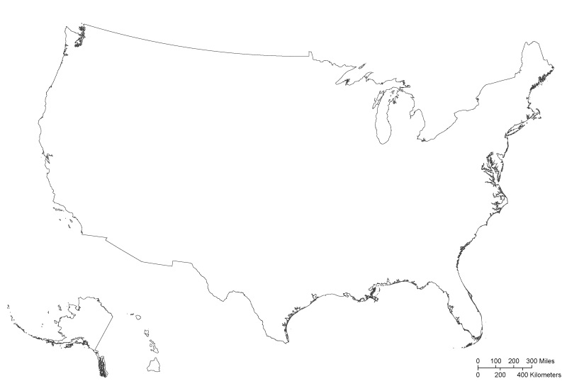
1. U.S Unlabeled Map:

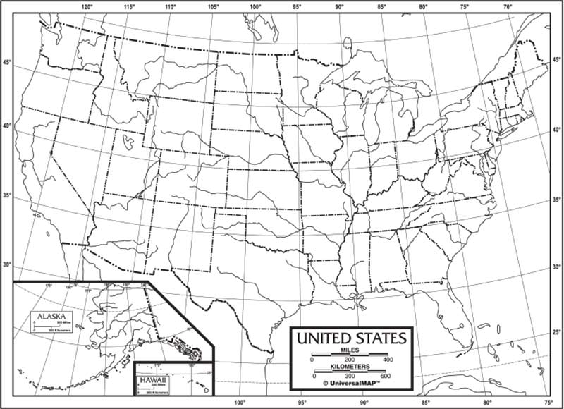
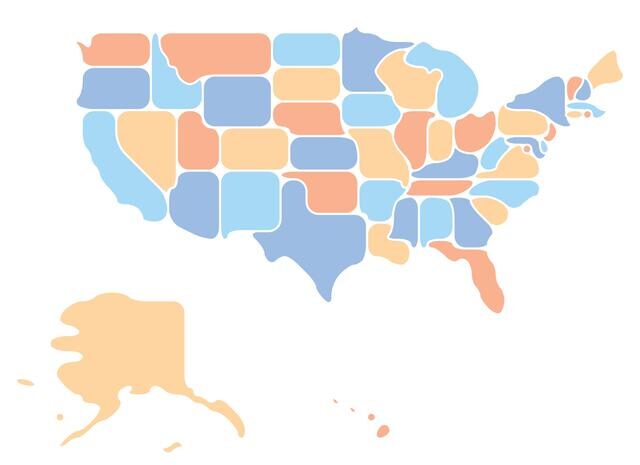
2. U.S Unlabeled Map Black & White:
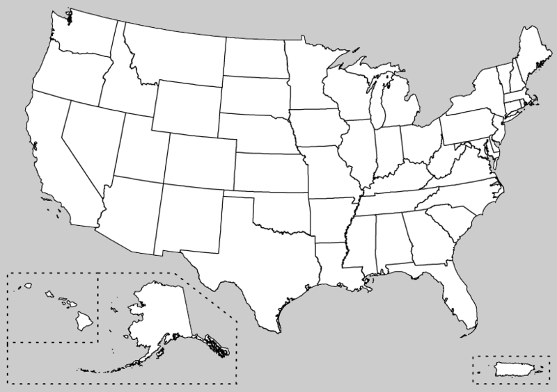
3. USA Empty Map:
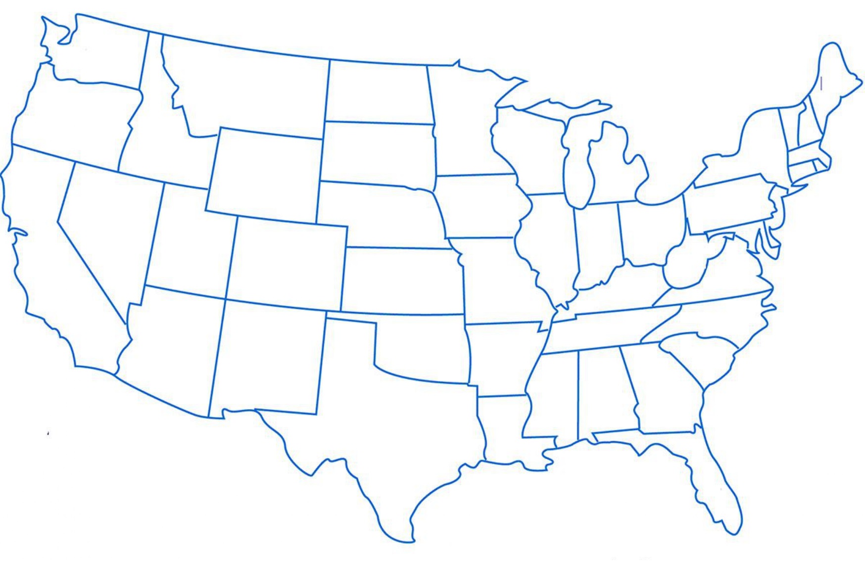
4. U.S Unlabeled States Boundaries Map:
5. USA Map Unlabeled :
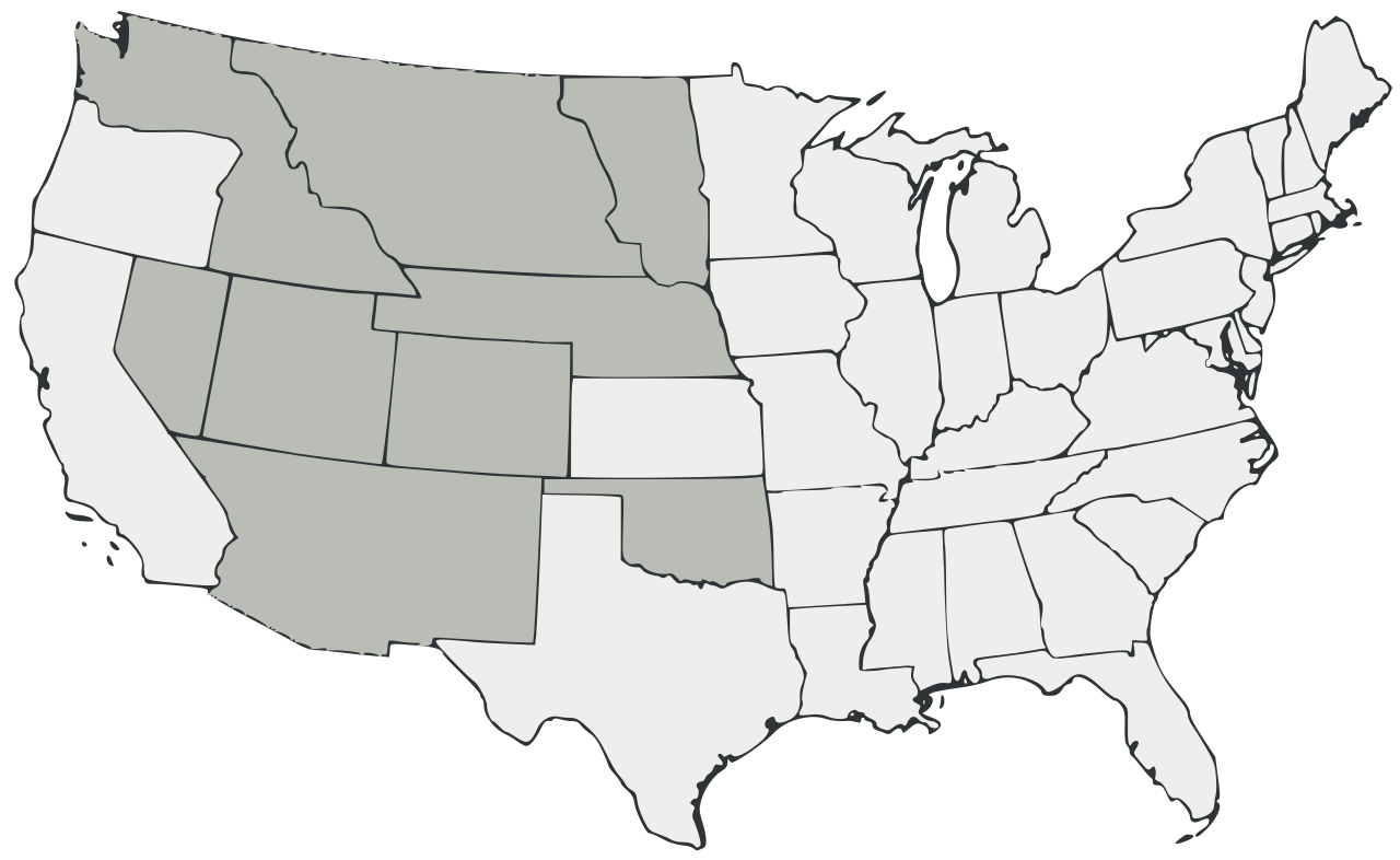
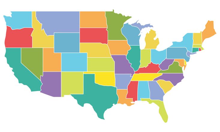
6. U.S Unlabeled Colored Map:
7. Printable US Unlabeled Map:
8. Empty Map USA:

9. U.S Unlabeled Outline Map:
10. USA Unlabeled Map:

We have shown above 10 ways US map unlabeled which students can use for their school assignments, projects, quizzes, etc. With the help of these maps, students can enhance their map-reading skills. Because in today’s era everyone should know about the map. Which they can use in their daily life.
Unlabeled maps can also be called empty or blank maps. Because these maps are all empty students use them in their practice, as well as use labeled maps to understand the landforms, water bodies, and natural resources of a particular area through our US unlabeled maps.
This will help you learn those different symbols and words that you are eager to learn. The list of our unlabeled map of USA will be very useful for those parents too. Those who want to give information about the map to their children. For this, you can see the 6th image of the list. In which we have filled colors.
This is because you can engage your children in the game and remember the names of the states through colors. This will also entertain them and they will also be able to get information about maps. For states, you can use our 4th image. In which we have shown the boundaries of the 50 states of America through dots. Your kids can practice and learn which state’s boundaries are up to.
At the same time, through this image, you can also give information about the river to your children, such as which states the river passes through. This unlabeled map of America will completely help you to understand geography and history. Which you can understand yourself and give knowledge to your children, too.
How to Use These Unlabeled US Maps
An unlabeled US map is specifically designed for geography practice and testing. Unlike a labeled map that shows all state names, an unlabeled map challenges students to recall and write state names from memory.
For Students: Use these maps to test your knowledge of all 50 US states. Start with Map #1 (Unlabeled States Map) — try to fill in all state names without looking at a reference. Check your answers using our labeled map.
For Teachers: These unlabeled maps are ideal for:
– Geography quizzes and tests
– State identification exercises
– Capital city placement practice
– Regional division exercises
For Homeschool Parents: Print Map #1 multiple times and use it as a daily practice worksheet until your child can correctly label all 50 states.
Practice Tips: Start by learning states by region — first master Northeast states, then Southeast,
then Midwest, then Southwest, then West. Use our US Regions Map alongside these unlabeled maps for best results.
It is very easy to download all these USA unlabeled maps without paying any amount. Because it is free for you on our website. Like you will not find this on any other website. All you have to do is click on our PDF button. We have put all the images below. With its help, you can download and keep the map of the US unlabeled on your computer or smartphone. And printouts can also be taken out through the printer; all these maps are printable.
Frequently Asked Questions
Q1: What is an unlabeled US map used for?
An unlabeled US map is used for geography practice and testing. Students use it to practice identifying and labeling all 50 US states, capitals, and regions from memory. Teachers use it for geography quizzes and classroom exercises.
Q2: What is the difference between an unlabeled and a blank map?
An unlabeled map shows state borders and boundaries but has no text or labels. A blank map may have no borders at all. Our unlabeled maps show all state borders clearly — making them perfect for filling in state names.
Q3: Which unlabeled map is best for a geography test?
Map #1 (Unlabeled States Map) is the most commonly used for geography tests. Map #4 (Unlabeled County Map) is best for advanced students studying county-level geography.
Q4: Can I download these unlabeled maps for free?
Yes, all unlabeled maps are completely free. Click the PDF button under any map to Download it instantly.


