
Maps are needed by someone or the other whether they are students or people traveling. Let us discuss the political map today. Political maps are maps that show the political features of a given area. These features can include things like countries, states, provinces, cities, and towns. You will get to see a list of political maps of USA related to these, which you can download according to your need.
List of United States Political Map :
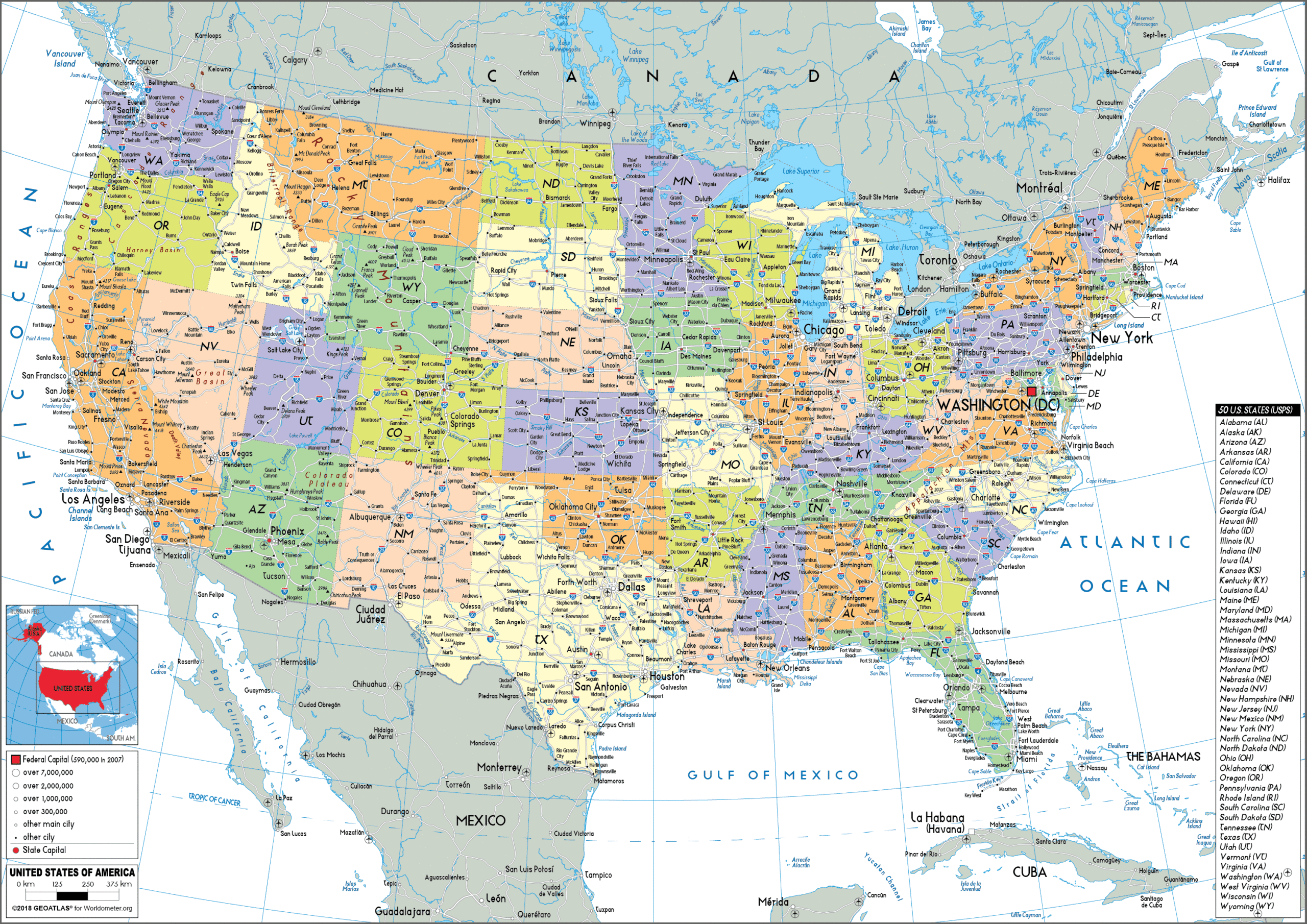
1. U.S Political Map:

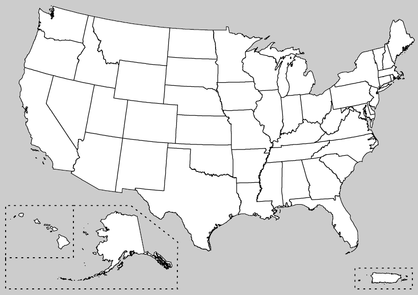
2. U.S Blank Political Map:
3. U.S Political Map 1848:

4. U.S Political Map with Cities:
5. U.S Political Party Map:

6. U.S Political Map Only State:

The United States of America is a federal district and consists of fifty states. Here along with the state, the people of the political cities are also needed. If you have any queries related to the US states political map then you are at the right place because we have shown them in a different way which you can see on the 4th and 6th numbers in the list and you can download them with the help of pdf button.
The United States nation is basically located in central North America and Washington, DC is the capital of the country. To the north of the United States, is Canada and to its south, it is bounded by Mexico. When some people need the political party map of USA, they start looking for it on different websites. You do not need to go anywhere because it is the fifth number on our list. Take a quick look and use it in your project.
We have prepared the list of our political maps according to your query. In this, you will be seeing 6 types of maps. Which you can take into your use in different ways. You can use these maps in your project as mentioned. We have shown the old political maps of 1848 in our list. This is so that you don’t need it anywhere.
I think you must have liked my political maps and used them for your project as well. On our website, you will get to see more maps related to the USA, which you can use in your project. The best part is that you can download these maps for free which is not on any other site. You can also print these maps via the PDF button and use them in your projects.
Apart from this, if you have any queries related to maps, which we have not included in our list, then definitely tell us so that we can solve our problem as soon as possible.
What Does a Political Map of the USA Show?
A political map of the United States shows the boundaries and divisions of the country at different levels — national, state, and sometimes county level. Unlike a physical map that shows mountains and rivers, a political map focuses on:
- State boundaries and names
- Capital cities of each state
- Major cities and towns
- National and international borders
- Political party affiliations by state (in party maps)
The USA is divided into 50 states and 1 federal district (Washington D.C.). Each state has its own capital city and government.
US States and Their Capital Cities
Here are all 50 US state capitals — useful for school projects and geography study:
| State | Capital City |
| Alabama | Montgomery |
| Alaska | Juneau |
| Arizona | Phoenix |
| Arkansas | Little Rock |
| California | Sacramento |
| Colorado | Denver |
| Connecticut | Hartford |
| Delaware | Dover |
| Florida | Tallahassee |
| Georgia | Atlanta |
| Hawaii | Honolulu |
| Idaho | Boise |
| Illinois | Springfield |
| Indiana | Indianapolis |
| Iowa | Des Moines |
| Kansas | Topeka |
| Kentucky | Frankfort |
| Louisiana | Baton Rouge |
| Maine | Augusta |
| Maryland | Annapolis |
| Massachusetts | Boston |
| Michigan | Lansing |
| Minnesota | Saint Paul |
| Mississippi | Jackson |
| Missouri | Jefferson City |
| Montana | Helena |
| Nebraska | Lincoln |
| Nevada | Carson City |
| New Hampshire | Concord |
| New Jersey | Trenton |
| New Mexico | Santa Fe |
| New York | Albany |
| North Carolina | Raleigh |
| North Dakota | Bismarck |
| Ohio | Columbus |
| Oklahoma | Oklahoma City |
| Oregon | Salem |
| Pennsylvania | Harrisburg |
| Rhode Island | Providence |
| South Carolina | Columbia |
| South Dakota | Pierre |
| Tennessee | Nashville |
| Texas | Austin |
| Utah | Salt Lake City |
| Vermont | Montpelier |
| Virginia | Richmond |
| Washington | Olympia |
| West Virginia | Charleston |
| Wisconsin | Madison |
| Wyoming | Cheyenne |
Frequently Asked Questions (FAQ)
Q1: What is a political map of the USA?
A political map of the USA shows state boundaries, capital cities, major cities, and national borders. It does not show physical features like mountains or rivers — those are shown on a physical map.
Q2: How many states are shown on the US political map?
The US political map shows all 50 states plus Washington D.C., which is the federal capital district of the United States.
Q3: What is the difference between a political map and a physical map of the USA?
A political map shows man-made boundaries like state lines, cities, and capitals. A physical map shows natural features like mountains, rivers, lakes, and elevation changes.
Q4: Can I download these political maps for free?
Yes, all 6 political maps are completely free to download. Click the PDF button under any map to save it instantly.


