
The United States is divided into 3,144 counties and county-equivalents across all 50 states. County maps are used by researchers, government officials, educators, and students to understand administrative boundaries within each state. Our collection of 10 free printable US county maps covers everything from basic county outlines to detailed county earning and ranking maps.
List of United States County Map :
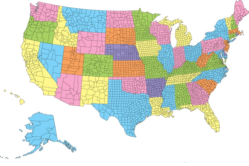
1. U.S County Map:

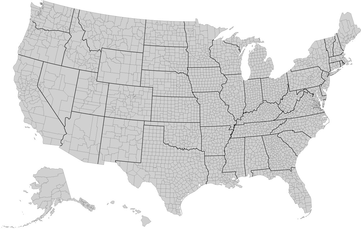
2. Blank US County Map:

3. Interactive US County Map:

4. U.S County Earning Map:

5. County Map of USA :

6. U.S County Level Map:

7. Printable US County Map:
8. U.S County Map Black & White:
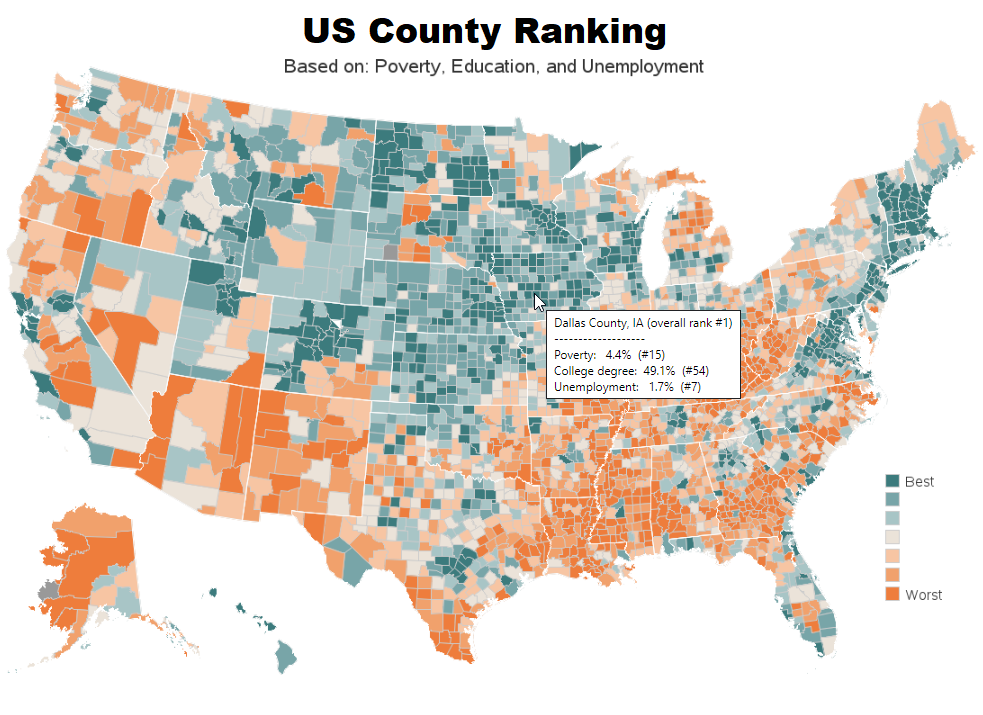
9. U.S County Ranking Map:
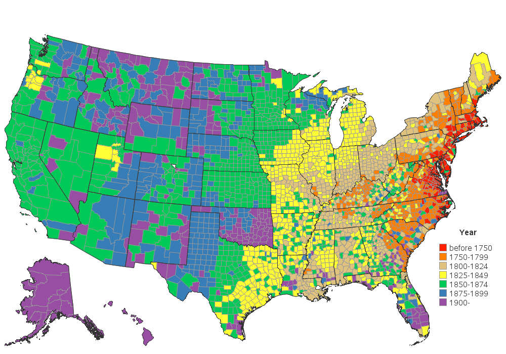
10. U.S County Years Map:
We have defined 10 ways county map united states above. Through this, you are shown the geographical area along with the specific boundaries of all the states of the country. A county is an administrative or political subdivision of a state. With which you can see the city of all the states as a county.
In the United States, researchers and government officials use the term county. The county word is used in only 48 of the 50 US states. The county word is not used in 2 states (Louisiana and Alaska). The word town or parish is used for both these states.
For your information, let us tell you that the biggest feature of counties is that the government powers present in them are all those states in which the word county is used. In that, they work in different ways and vary widely. As you can see in all our county maps of US. Which we have shown through the list above.
These American county maps are mostly used as logos for commercial, educational, teaching or office use. That’s why we’ve featured all the county maps you need. Which everyone can take into their use. Through the America county map, it will be easy for you to know about the states.
Teachers also use these US county maps to indicate the name of the state using the quiz session. So that the student can identify the states as soon as possible. If you also want to learn to identify the names of the states, then you can download the US county map with names.
County Equivalents in Louisiana and Alaska
The word “county” is used in 48 of the 50 US states. Two states use different terms:
Louisiana uses “parishes” instead of counties. Louisiana has 64 parishes.
Alaska uses “boroughs” instead of counties. Alaska has 30 organized boroughs and one large unorganized borough.
These county equivalents function the same way as counties in other states — they are administrative subdivisions of the state.
It is very easy to download all these counties maps of the USA. As we have told you in many previous articles. You have to click on the PDF button. Which we all have indicated at the bottom of all images. Through that, you can download the US state county map for free. All these county maps are US printable, you can also take their printout through the printer.
Frequently Asked Questions
Q1: How many counties are in the USA?
The United States has 3,144 counties and county-equivalents across all 50 states. Texas has the most counties of any US state with 254, while Delaware and Hawaii have the fewest with just 3 counties each.
Q2: Which US state has the most counties?
Texas has the most counties of any US state with 254 counties. Georgia is second with 159 counties, followed by Virginia with 133 counties.
Q3: Do all US states use the word “county”?
No. Louisiana uses “parishes” and Alaska uses “boroughs” instead of counties. All other 48 states use the term county for their administrative subdivisions.
Q4: Can I download these county maps for free?
Yes, all 10 county maps are completely free. Click the PDF button under any map to download it instantly.


