
The United States of America, which is counted among the large countries, while talking about its geography, it includes the state of Alaska in the northwestern end of North America in the United States and the island state of Hawaii in the Mid-Pacific Ocean. If you want to know more about its geography, then definitely take a look at our US geography map. Below we have defined a list related to geography for you. Which you can download easily. And you do not have to pay any payment to download them.
Geography of The United States of America collection :
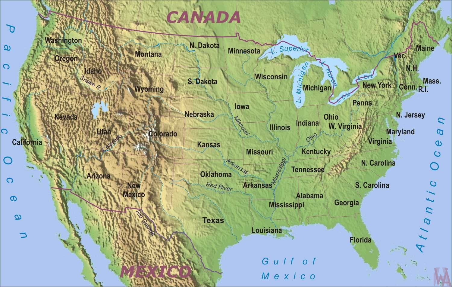
1. U.S Geography Map:
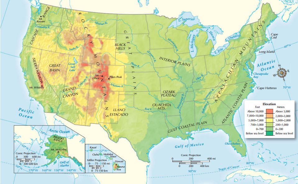
2. U.S Geography Elevation Map:
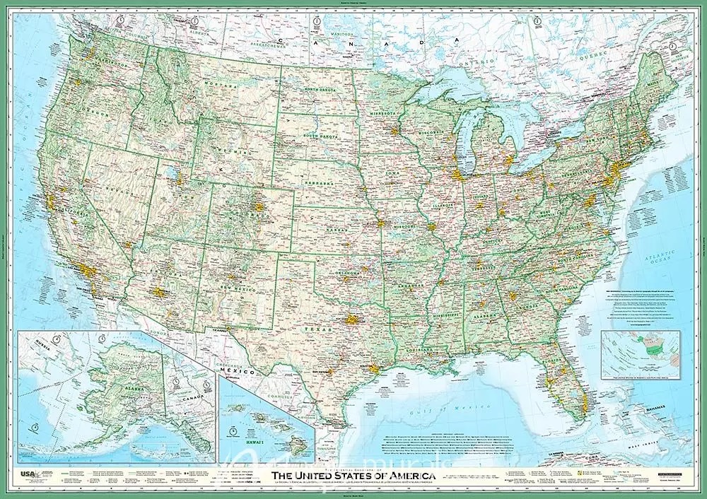
3. U.S Geography Essential Map:
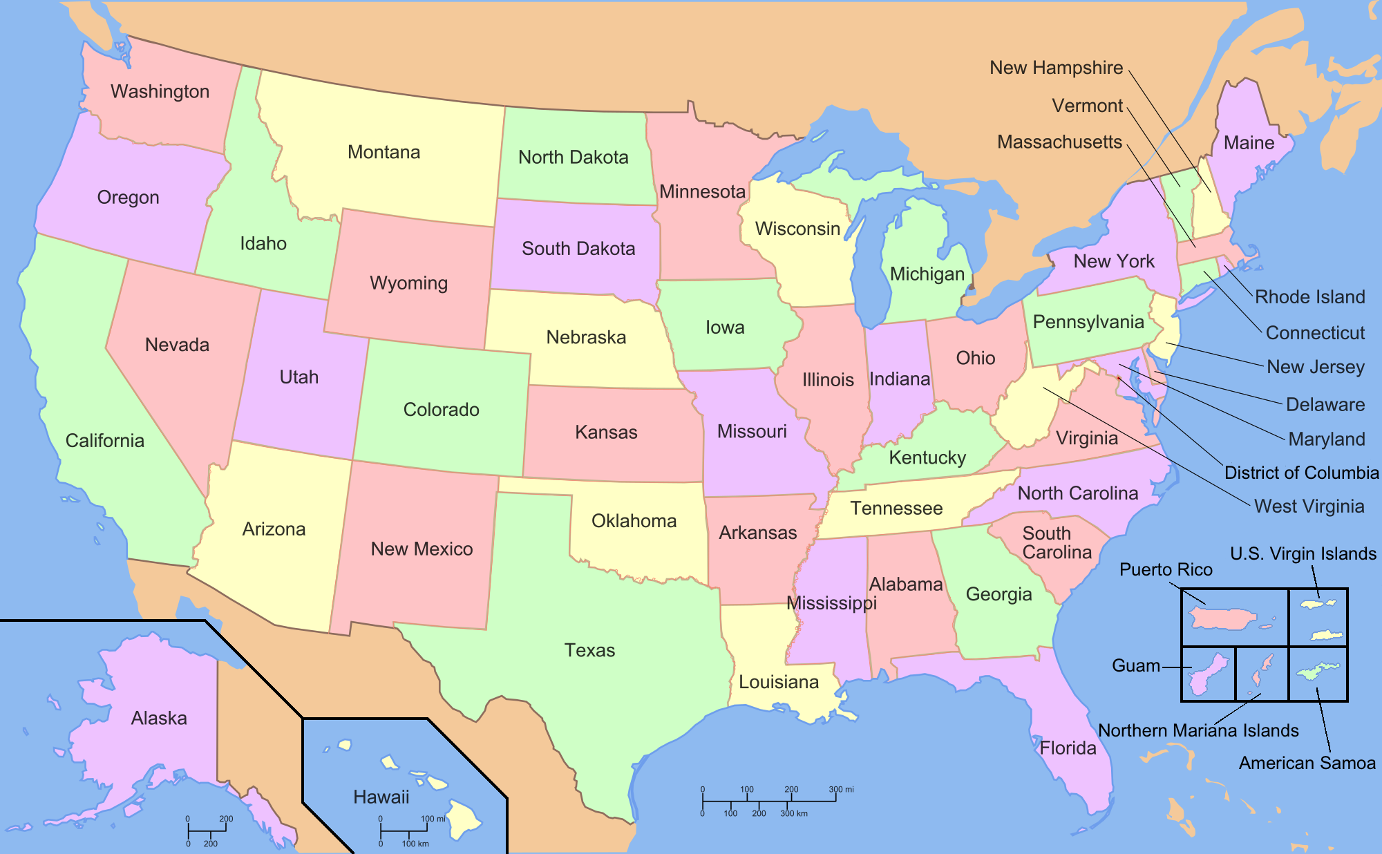
4. U.S Geography Map only States:
5. U.S Geography Blank Map:

6. U.S Geography IQ Map:
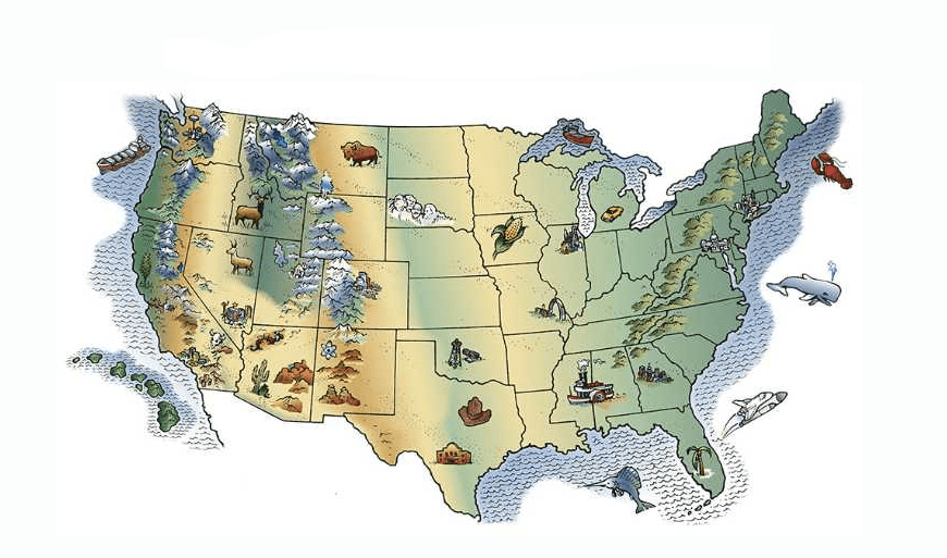
7. U.S Geography Map For Kids:

You must have taken a good look at our map of 7 types. You can use it in your projects and research. For your information, let us tell you that the United States of America is the fourth largest country in the world in area (after Russia, Canada, and China). The national capital is Washington, which overlaps with the District of Columbia, the federal capital territory created in 1790.
Sometimes geography teachers ask us questions, to which we do not have the answer. Like how much part of USA is spread and its part is surrounded by the sea. If you also have similar questions and you are finding their answers, then look at all our images very well, this will give you the answers to all your questions.
When we look at the America geography map. So let’s move on to find out more about America through the use of these interesting images and this page leads to more colorful resources and information designed to help you learn about America’s geography been done.
You can download these maps with a single click, you will see the PDF button below each image so that you can click it and download the map that you need to your computer or smartphone. You do not have to pay any kind for downloading these maps, all of them are absolutely free for you.
Key Geographic Facts About the USA
The United States spans 3.8 million square miles, making it the fourth largest country in the world by area. It borders Canada to the north and Mexico to the south, with the Atlantic Ocean on the east and the Pacific Ocean on the west.
The geography of the USA is extremely diverse — from the Arctic tundra of Alaska to the tropical beaches of Hawaii, from the Rocky Mountains in the west to the flat Great Plains in the center and the Appalachian Mountains in the east. Map #2 (Elevation Map) and Map #3 (Essential Map) above show these geographic features clearly.
Map #7 (Geography Map For Kids) is specially designed for younger students with simple, easy-to-read labeling — perfect for elementary school geography lessons.
If we have missed which map you need, then tell us about it through mail or comment. So that we bring that map to you as soon as possible. I hope you have liked my Geography Map, share it as much as possible.
Frequently Asked Questions
Q1: What is the geography of the United States?
The United States has a highly diverse geography, including mountains, plains, deserts, forests, and coastlines. Major features include the Rocky Mountains, the Appalachian Mountains, Great Plains, the Mississippi River, and the Great Lakes.
Q2: Which map is best for a US geography school project?
Map #3 (Essential Geography Map) gives a complete overview of projects. Map #7 (Kids Geography Map)
is ideal for younger students. Map #5 (Blank Map) is best for practice tests.
Q3: Can I download these geography maps for free?
Yes, all 7 maps are completely free. Click the PDF button under any map to download instantly.


